Airborne LiDAR Survey
Capilano's first airborne-LiDAR project, flying a LiAir V70 to build classified 3D point clouds and contour maps.
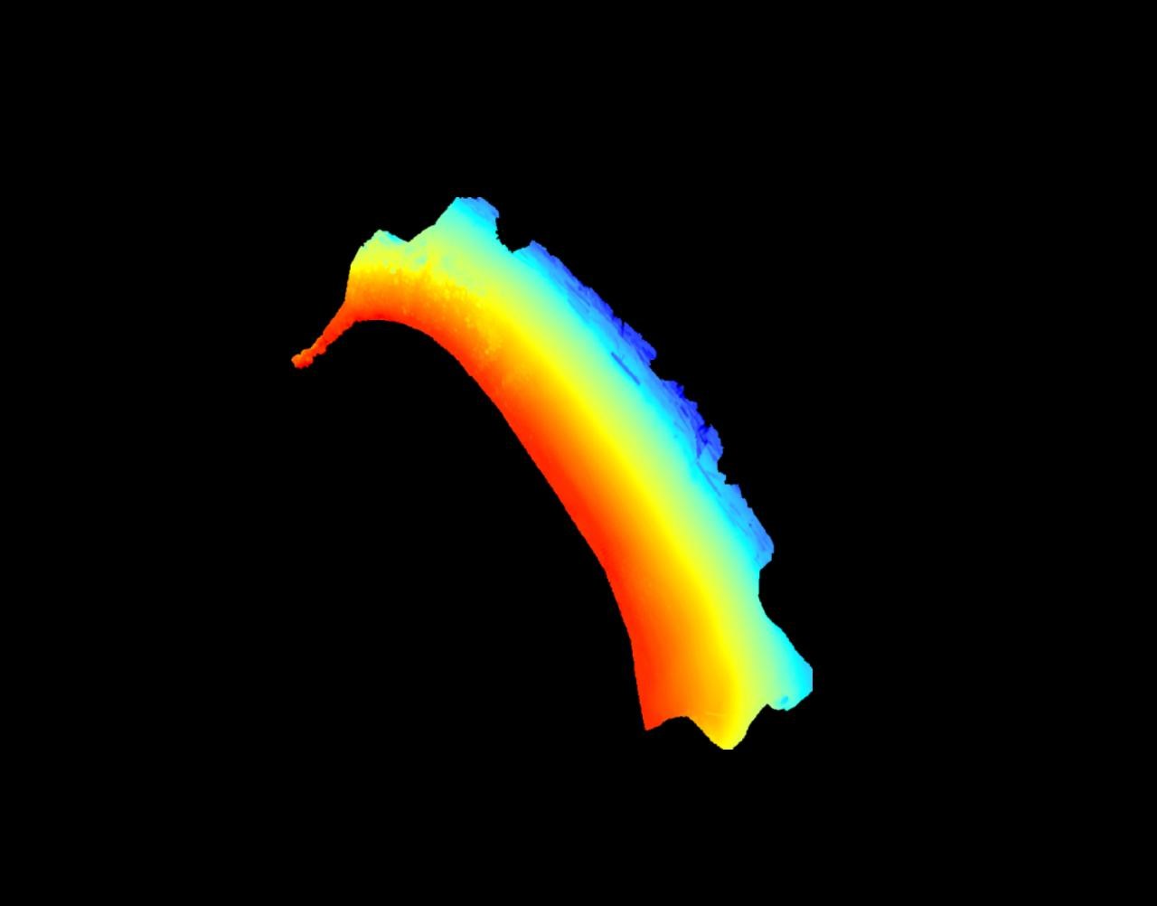
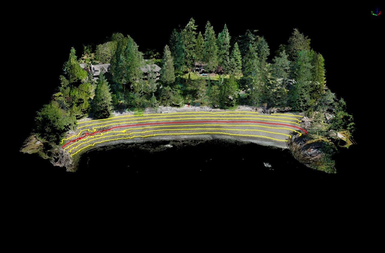
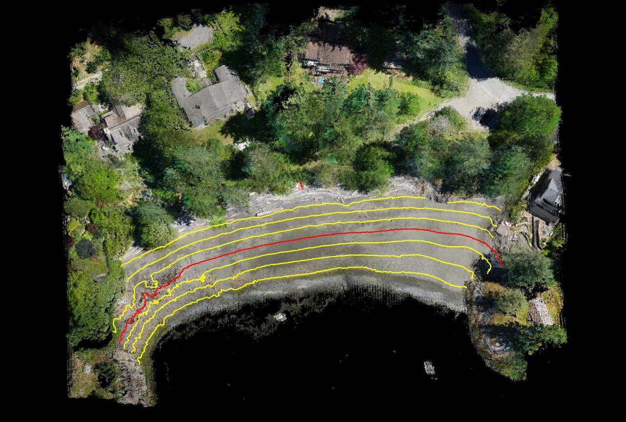
Capilano University's first airborne-LiDAR research project. On a team of four, I flew survey missions with a LiAir V70 on a DJI Matrice 210 V2, then processed the data into classified, colorized point clouds and contour maps.
- Ran drone missions with a LiAir V70 on a DJI Matrice 210 V2 for Capilano's first airborne-LiDAR project.
- Generated classified, colorized point clouds and contour lines in LiDAR360 v5.4.
- Fixed georeferencing and trajectory errors to keep the 3D models accurate.
- Documented the workflow in YouTube tutorials for future interns.
01Field work
Planned and flew the missions, handling drone operation, setup, calibration, and troubleshooting from the LiAir and Matrice manuals.
02Processing
Generated and classified point-cloud data, built contour lines, and colorized the clouds in LiDAR360 (v5.4), tracking down georeferencing and trajectory errors to keep the results accurate.
03Handoff
Made YouTube tutorials documenting the workflow for future interns, and worked with DJI distributors to verify missions and reduce point-cloud noise.
Want to talk through how I built this?